Page 9

Photographing Geostationary Satellites
By Ginger Wentrcek
Several months ago I tried to capture an image of geostationary satellites. At that time, I aimed the camera south but aimed too high to capture anything. I got interested in the project again when Don Carona sent me an article to include in this newsletter. (Read Don's article here.) I reread Randy Light's astrophotography article about taking star trail photos, watched a Moose Peterson You Tube video for his intervalometer settings, and set up the tripod and camera on the back patio.
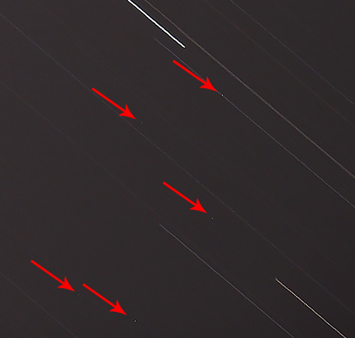
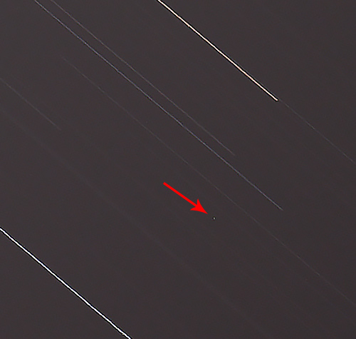
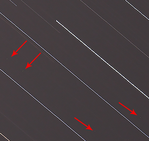
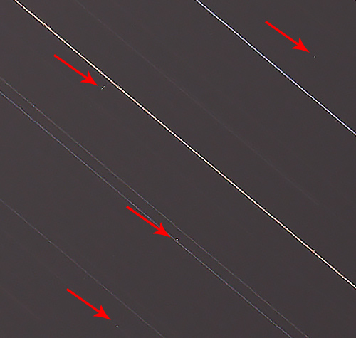
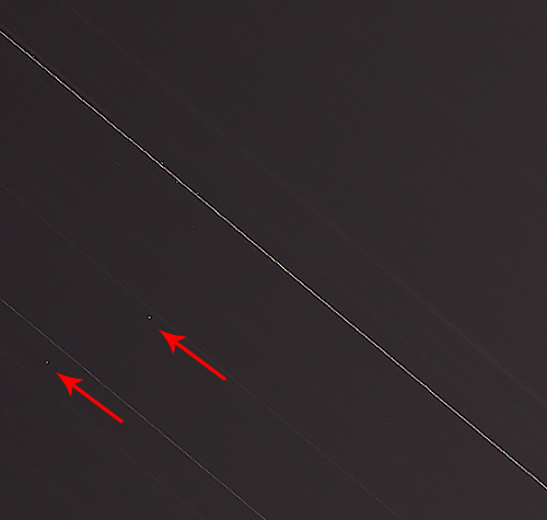
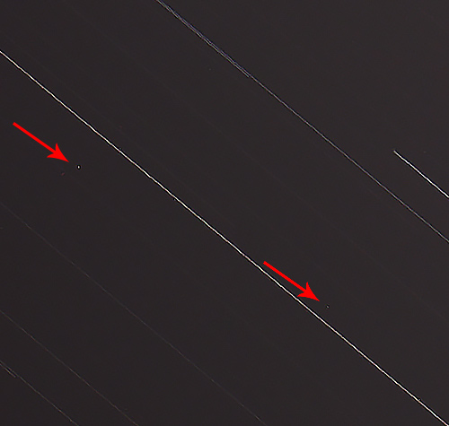
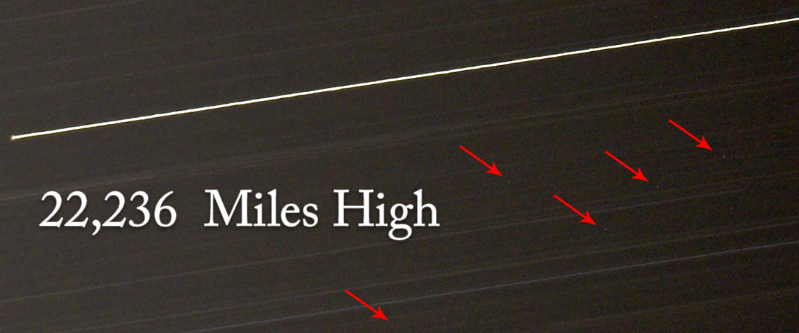
I decided to photograph in the area of an EchoStar communication satellite, which turned out to be a satellite rich area. Using a cellphone app, the lens was pointed to 204° azimuth. An inclinometer was used to point the lens at an elevation angle of 49°, the camera was set to “bulb,” and an intervalometer was used to keep the shutter open for 4 minutes. Several images were taken, and if successful, stars would be recorded as star trails and geostationary satellites would look like very small dots with no trailing lines.
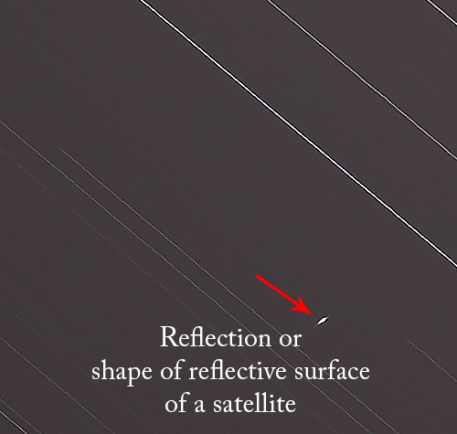
I was excited to see “small dots” on the computer screen when the images were downloaded. As an added bonus, there was a purple reflection from the beautiful Orion Nebula in the background.
To double check my work, I asked Don to take a look at the images and he verified that the “dots” were clearly satellites and I was aiming in the correct area because the celestial equator runs through Orion's belt.
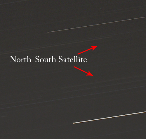
In one image, there was a faint vertical line, most likely a north-south satellite trail, that started at the top of the image and ran to the bottom of the image. Other smaller satellite trails were also recorded.
Camera Settings
- Manual Exposure Program
- Center Weighted Average Metering Mode
- Bulb Setting
- ISO 100
- Focus set to infinity (Fine tuned on a star)
- Auto White Balance
Intervalometer Settings
- Delay - 0 sec
- Length - 4 min
- Interval - 1 sec
Shooting Direction
- 206° Azimuth
- Elevation 49°
- One image - Pointed South at Random
The Equipment
- Nikon D810 Camera
- Really Right Stuff Tripod
- Nikon 600mm Lens
- Nikon MC-36 Intervalometer
- Inclinometer
- Cellphone